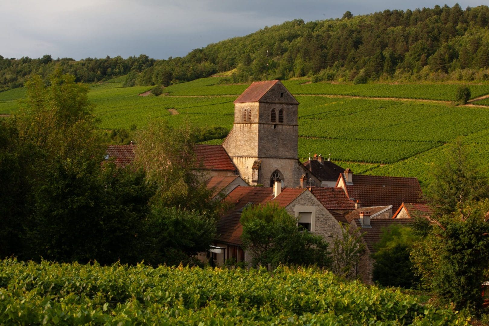
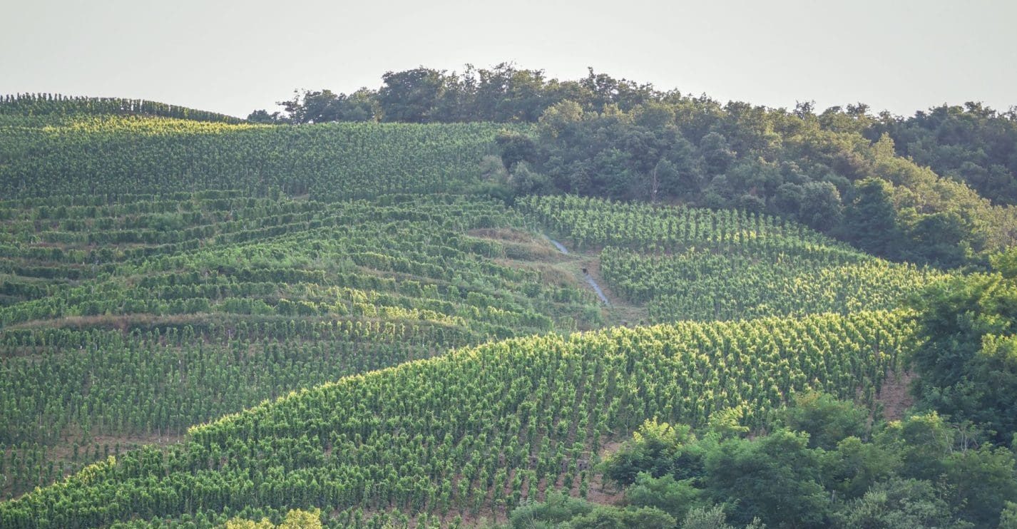
Nantoux in the Hautes-Côtes of Beaune , the "pilot" municipality for the project with the village neighbor of Meloisey.
Vineyards
“Horizon Hautes-Côtes” project: building the vineyard of tomorrow…
With "Horizon Hautes-Côtes", the ODG the Hautes-Côtes of Beaune The Nuits-Saint-Georges wine region is launching a groundbreaking initiative in Burgundy to map the region's viticultural potential, better protect biodiversity, and anticipate the effects of climate change. Supported by financial, technical, local, and regional partners, the project aims to lay the groundwork for controlled, sustainable, and collaborative vineyard development.
by
Morgane AIGU
THE
“The Horizon Hautes-Côtes project was born from an observation: requests for the development of new vineyard plots in the Hautes-Côtes are multiplying,” explain Nicolas Thevenot, winemaker and President of the ODG of the Hautes-Côtes, and Boris Champy, winemaker and Manager ODG of the Horizon Hautes-Côtes project. "This development needs to be supported in a structured way." Vineyards located slightly west of the coast of Beaune and of the côte de Nuits , at altitude (300 to 450 meters on average), the Bourgogne Hautes-Côtes de appellations Beaune and the Hautes-Côtes de Nuits region of Burgundy are experiencing strong development. “In the context of climate change, the Hautes-Côtes are attracting winegrowers because of their altitude and cooler climate. In recent years, there have been many requests for vineyard projects in the area, and we've realized that there are conflicting issues related to planting these plots,” explains Nicolas Thevenot. In the first project logbook, unveiled in March 2026, the ODG This explains that this growth now necessitates reconciling the attractiveness of the region, the quality of the wines, the preservation of the landscapes, and respect for environmental balance. This comprehensive reflection on the future of the vineyard aims to support this changing environment without altering its fundamental nature.
Mapping to make better decisions
At the heart of this approach, mapping must allow for the cross-referencing of geological, soil, climatic, regulatory, and environmental data in order to identify areas favorable to viticulture… and those that must remain protected. The objective is to build a decision-making tool for winegrowers, the ODG and local communities, while avoiding sites deemed inappropriate. As Françoise Vannier, geologist, co-founder and co-manager of the wine-growing terroir consulting firm ADAMA, summarizes, "the idea is that the results will be presented through clear and accessible maps." The analyses will include, in particular: soil type, exposure and slope, climate data, Natura 2000 sites, and areas susceptible to erosion. "Mapping means taking inventory, identifying, and anticipating in order to collectively build the balanced development of the vineyard," explain those in charge of the project.
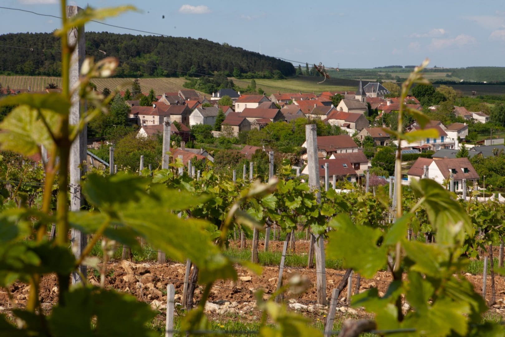
Magny-les-Villers, in the Hautes-Côtes de Nuits.
Biodiversity: a major issue in the Hautes-Côtes
Nearly 85% of the area of appellation It is located within a Natura 2000 zone (the Natura 2000 network, made up of a collection of natural sites, both terrestrial and marine, aims to ensure the long-term survival of particularly threatened species and habitats of high conservation value in Europe). This figure necessitates particular vigilance in future planting projects. Calcareous grasslands, forest habitats, ecological corridors… several natural areas shelter protected species and constitute essential reservoirs of biodiversity. “The Horizon Hautes-Côtes project is thus the starting point for finding a balance in the development of the territory,” emphasizes Lara Chatard, Natura 2000 project manager. The objective is to allow for wine-growing development without compromising natural environments.
Two pilot municipalities
The project begins with a test phase in the Hautes-Côtes region of Beaune , on approximately 1,550 hectares (total area of the territory analyzed in the two pilot municipalities: vineyards, woods, calcareous grasslands, agricultural land, etc.) on Nantoux , which still has many unplanted plots, and Meloisey, which, on the contrary, has few possibilities for expansion. The idea is to experiment with the method, to open up consultation between winegrowers, elected officials and technical partners, then to extend the approach to all 47 municipalities in the appellation areas. appellation AOC Burgundy Hautes-Côtes de Beaune and Bourgogne Hautes-Côtes de Nuits, i.e. nearly 26,000 ha (total area).
Ultimately, the future mapping will serve as a decision-making tool for winegrowers, communities and project leaders, with the ambition of building a resilient, sustainable vineyard adapted to the climate challenges of tomorrow.
Some key figures
1,838 hectares planted in appellation Burgundy Hautes-Côtes de Beaune and of Nights.
Nearly 2,600 hectares remain unplanted within the delimitation of appellation .
85% of the vineyard is located in a Natura 2000 zone.